
L'ESCALA - TORROELLA DE MONTGRÍ
Distance
23.1 km
Difficulty level
NORMAL
Maximum altitude
257 m
Minimum altitude
1 m
height gain
+743 m
height loss
-729 m
Interactive 2D / 3D Route Viewer
Explore the real trail on topographic or satellite maps, tilt the 3D terrain, and inspect the interactive elevation profile.
Reference map & official elevation profile
Step-by-step route description
From Les Barques beach we will go along the coast in a southerly direction following the GR-92 signs.
We'll go along Passeig Lluis Albert and Passeig del Mar to Riells Beach and from there we'll continue along Avinguda de Riells to the port.
The GR-92 continues along the Ronda path until it reaches the Illa Mateua (a small islet) and from there we will cross the Cala Montgó urbanisation until we reach the beach.
Here we will take Carrer del Milà, where the so-called Camí del Termes begins, which we follow, passing next to the Camping Neus and always leaving the built-up area to our right.
The name Camí del Termes comes from the fact that we are walking on the border between the municipalities of L'Escala and Torroella de Montgrí and, therefore, also between the upper and lower Empordà.
After a few kilometres we will arrive at Torre Ferrana, a farmhouse dedicated to children's camps.
Or also known as Camí dels Escalencs, much wider and open to the plain, with the silhouette of Castell de Montgrí just in front of it.
Al cabo de unos pocos kilómetros llegaremos a Torre Ferrana, una masía dedicada a colonias infantiles. Y poco después ya divisaremos las casas de Sobrestany, perteneciente a Bellcaire de Empordà, el primer municipio del Baix Empordà que pisaremos.
Not far from here, in the so-called Puig Moragues, it is known that there was an Indiketa settlement from the 7th century BC.
A partir de aquí el camino se convierte en carretera hasta llegar al diseminado de La Bolleria donde empieza el camino de tierra que nos conducirá a Santa Caterina. Este camino pasa junto a numerosos campos de olivos y poco a poco iremos viendo más cercano el perfil del Castell de Montgrí.
The hermitage of Santa Caterina was founded in 1392 by three ascetic monks from the Monastery of Monserrat.
It is worth visiting the church by descending the narrow stairs from the current guesthouse and admiring the ceiling and walls decorated with beautiful frescoes.
We will continue our route taking the Local Path (SL C 17) in the lower part of the built-up area, which is marked with green and white painted signs.
Note: This is a complicated stretch for cyclists up to the Coll de la Creu.
When we get there, if you want to go up to the Castell de Montgrí, it is advisable to do this last stretch on foot and then return to get your bike.
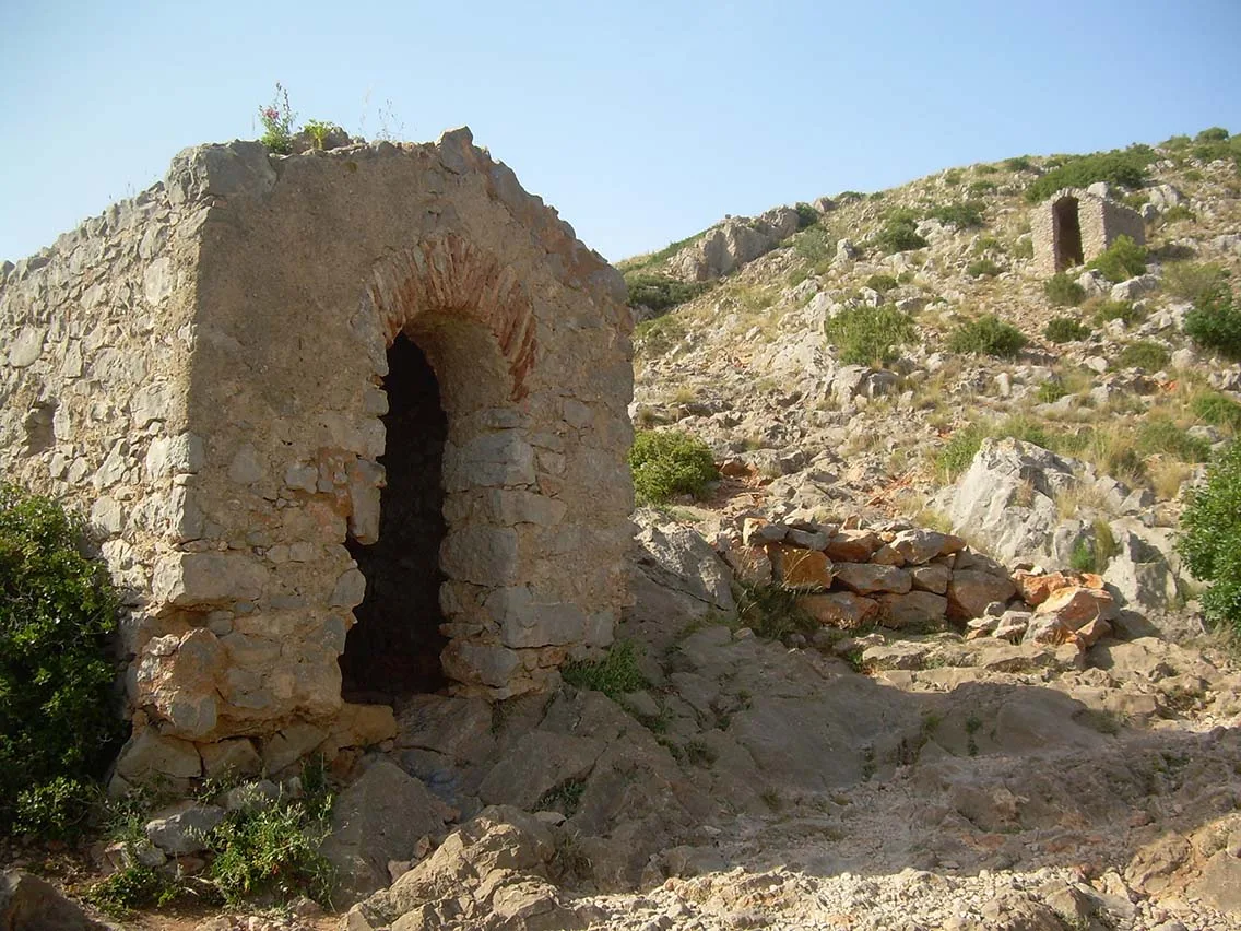
Afterwards, you will follow a different path to those on foot, passing by the so-called "tres capillas" (three chapels), old dry stone constructions that had housed religious images.
Those who go on foot, once they have visited the castle and are delighted with the magnificent views, have two options for walking down to the village of Torroella de Montgrí.
The first and most difficult option is to descend the difficult path that leads to the "Cau del Duc", a prehistoric cave that was occupied by the Neanderthals 200,000-300,000 years ago.
Nota: En algún tramo de la bajada habrá que ir con un poco de cuidado y ayudarse con las manos (son 5-10 minutos descendiendo sin prisa) hasta la cueva y luego otros 10-20 minutos más de bajada hasta llegar donde confluye con el camino normal.
The second option, much easier, and advisable for those with children, is to return to the Coll de la Creu (hill of the Cross) and then take the path for those on bicycles, which passes by the so-called "three chapels".
Nota: Para poder ver donde empieza el sendero que va al “Cau del Duc”, después de hacer la visita al castillo habrá que ir regresando hacia el Coll de la Creu y estar al tanto a mano izquierda (hacia el lado del precipicio) de ver unas flechas pintadas sobre piedras en pintura amarilla.
Going down either of the two options, at the height of a scree (a hillside full of small stones), the path for walkers and cyclists comes together again until you reach the first streets of Torroella de Montgrí and then you only need to arrive in front of the church of Sant Genís, the end of this stage.
Note: To the south of Torroella de Montgrí, in a place called La Fonollera, there used to be a settlement Indiketa Neolithic (Late Bronze Age).
It is worth a visit to the Museum of the Mediterranean, which has an important archaeological collection on this archaeological site and the Palaeolithic sites of the Cau del Duc and the Cau del Duc d'Ullà.
ACCOMMODATION AND PRACTICAL INFORMATION STAGE 5
BELLCAIRE D'EMPORDÀ
Social club in Bellcaire d'Empordà (696 502 928) Carretera d'Albons, s/n. Menu at 12€.
Restaurant L'Horta (972 78 85 91) C/ Major, 41. Menu at 16€.
TORROELLA DE MONTGRÍ
As it is a large town, it has various places to stay, restaurants and other services. You can visit the website of the Tourist Office here:
Note: The website is made together with the town of L'Estartit, so you have to be careful not to get confused.