Stages
THE TOUR OF THE EMPORDÀ BY STAGES
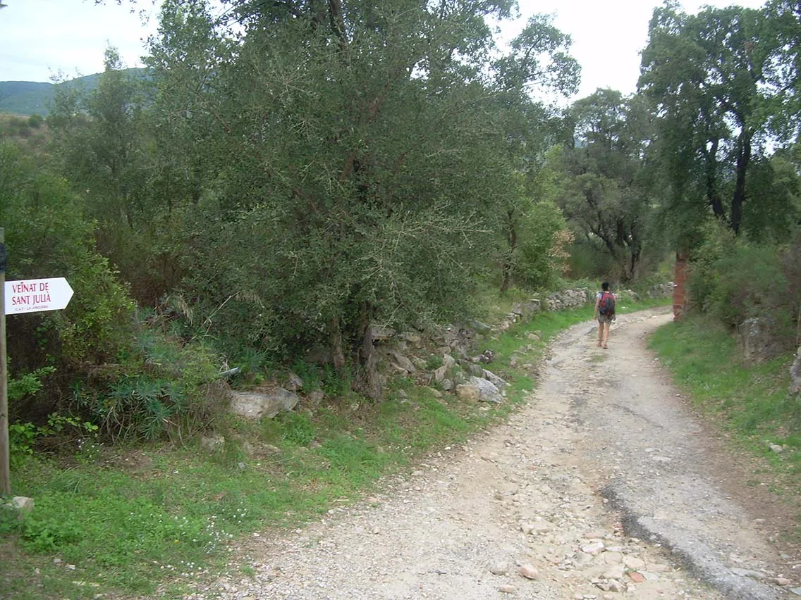
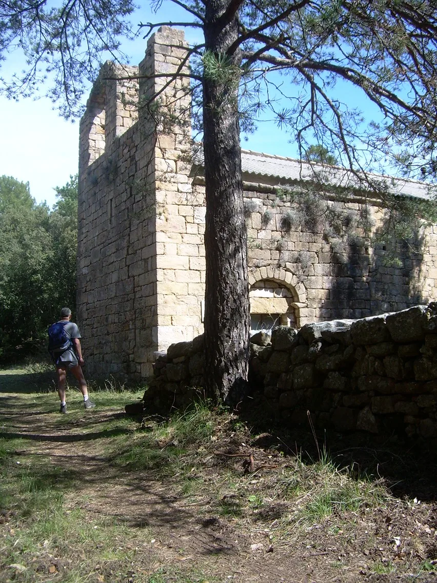
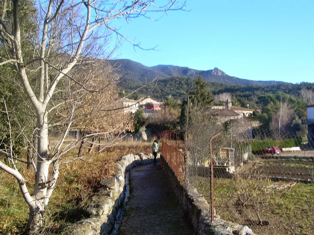
The Ruta dels Indiketes is the tour of the Empordà in stages along several thousand-year-old paths and trails, used by the ancient Iberian inhabitants of the region -the Indiketes- with a total of 476 km that runs around the two Catalan regions (Alt and Baix Empordà). It is done in self-guided format and in two possible modalities: hiking and cycling.
The Ruta dels Indiketes can be started anywhere and done in any direction, although for hiking we propose 22 stages of about 20-30 kilometres each. Below you can see the stages we propose, which from north to south and following the clockwise direction are the following:
Full interactive map — 476 km across Empordà
Click any stage segment to open its detailed guide and download the GPX track.
Trail color shifts dynamically by stage difficulty
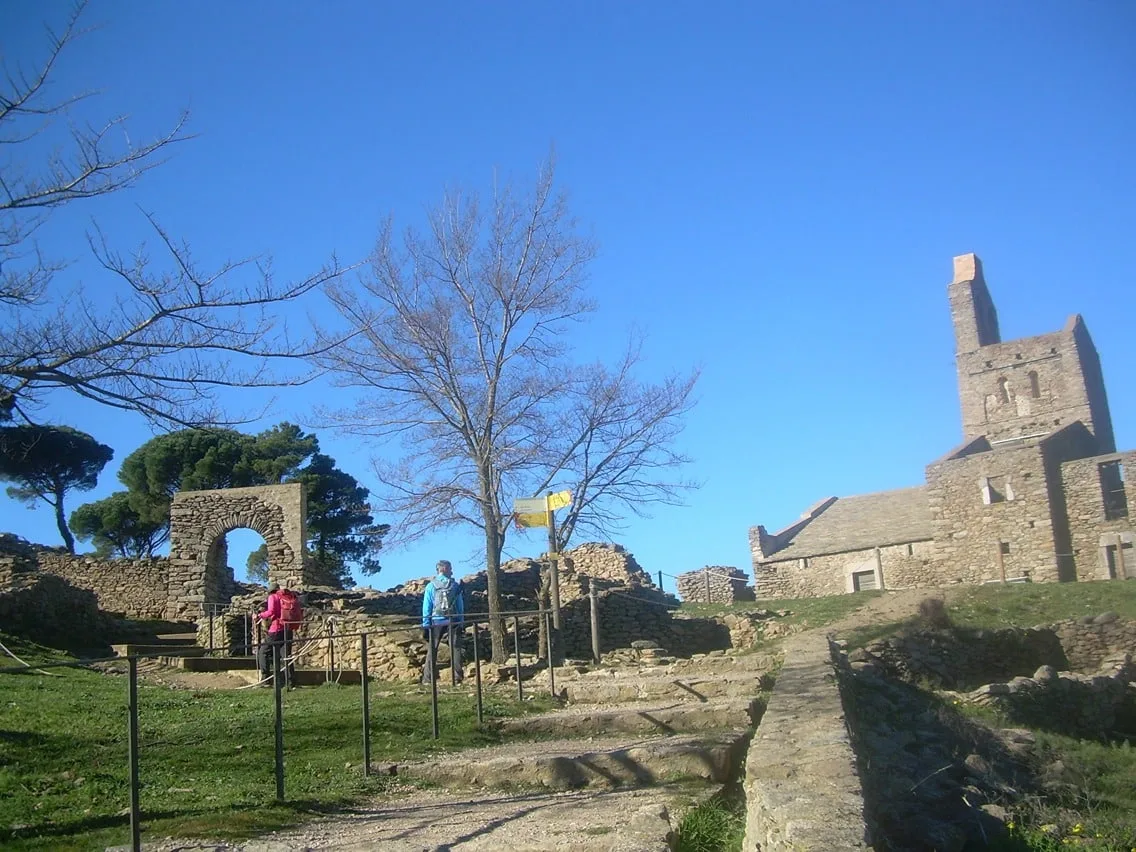
Llançà → Cadaqués
27.1 km+1726 m
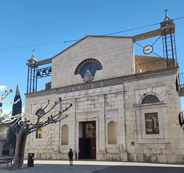
Cadaqués → Roses
16.2 km+1095 m
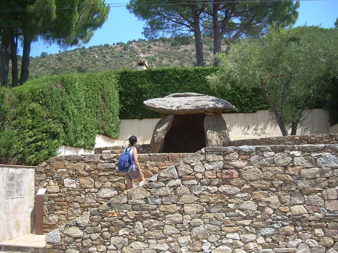
Roses → Castelló d'Empúries
26,4 KM+381 m
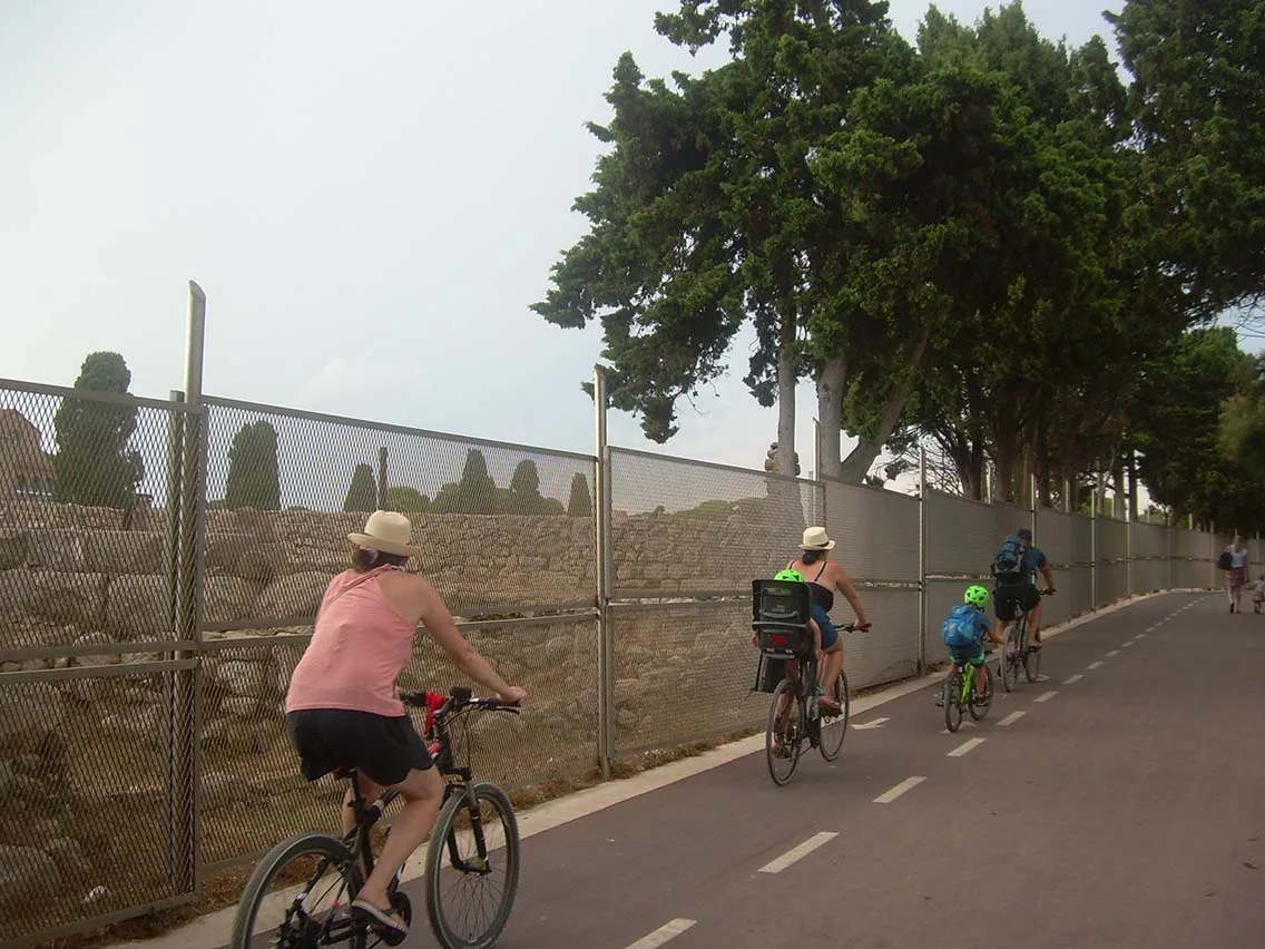
Castelló d'Empúries → L'Escala
25 km+192 m
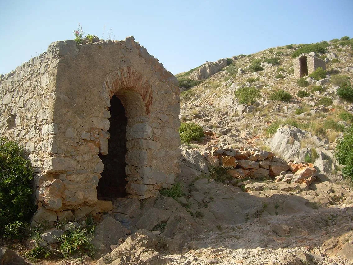
L'Escala → Torroella de Montgrí
23.1 km+743 m
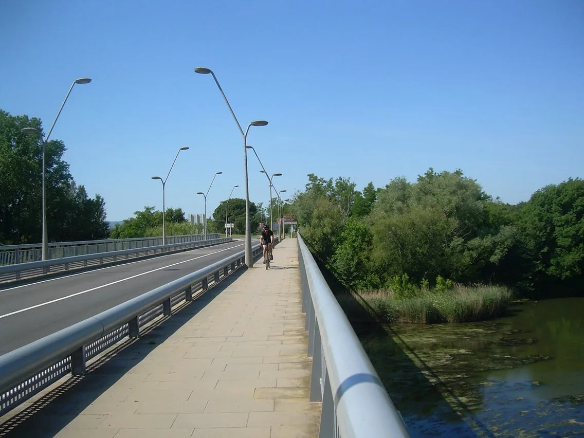
Torroella de Montgrí → Peratallada
27.2 km+378 m
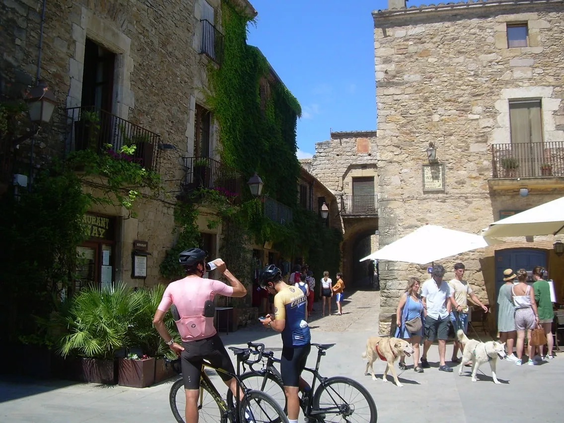
Peratallada → Begur
16.2 km+577 m
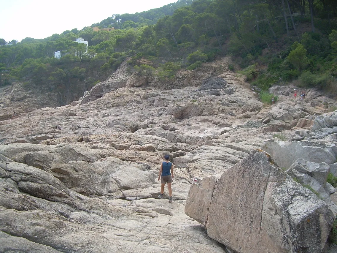
Begur → Palamós
21.7 km+1069 m
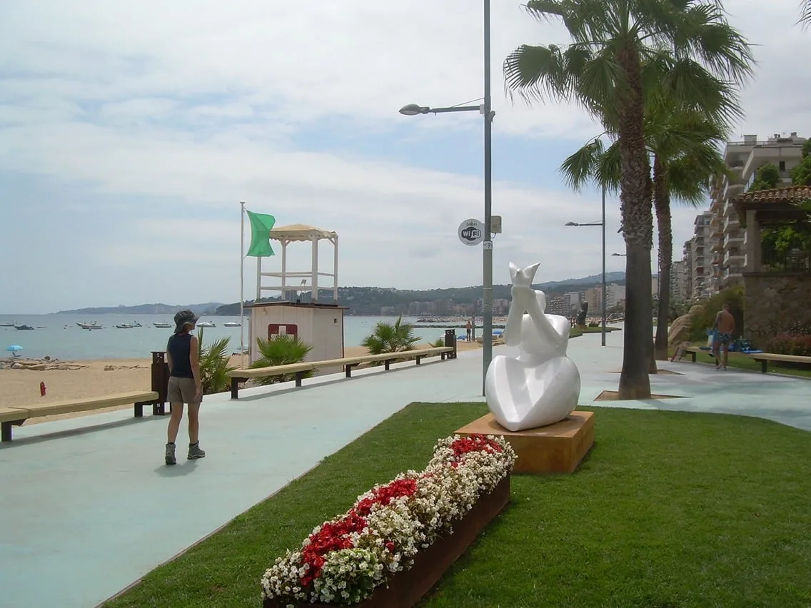
Palamós → Sant Feliu de Guixols
18.1 km+661 m
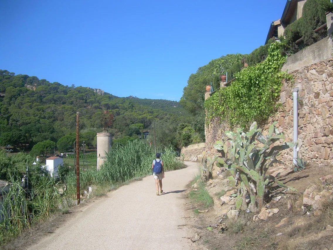
Sant Feliu de Guixols → Santa Cristina d'Aro
16.7 km+822 m
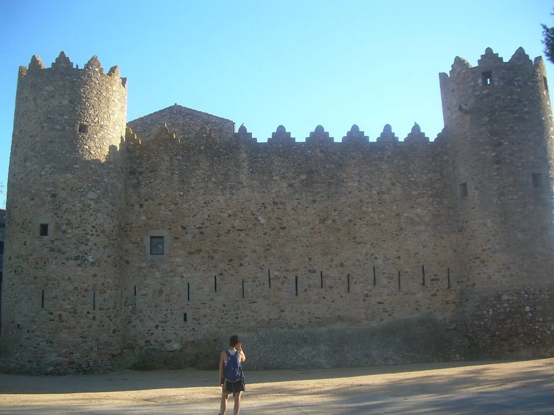
Santa Cristina d'Aro → Calonge
21.6 km+1477 m